Radar Glance app icon
iPhone and iPad App · v1.2

Radar Glance

Animated weather radar at a glance. See the rain moving, switch to satellite infrared, bookmark places, measure storm distance with rings, and understand what the colors mean — all offline, no account required.

Animated Radar

RainViewer precipitation frames animate over an Apple Maps base layer. Play, pause, or drag the scrubber to move through the last hour of observations and the short-term forecast. The most-recent frame always pauses a beat so "now" is easy to catch.
Satellite IR Layer

Switch between precipitation radar and infrared satellite imagery with one tap on the Radar / Satellite IR toggle. The satellite layer shows cloud-top temperatures — useful at night, in regions with sparse radar coverage, or when you want to see storm structure without the precipitation filter.

Precipitation Intensity Guide NEW

Tap the "i" button on the map (or open it from Settings) to see a full offline reference. An 8-level NWS dBZ scale explains what the radar intensity means in plain English — from Trace drizzle to Extreme hail — with approximate rainfall rates and a palette-specific paint guide that shows exactly what each color in your active scheme represents. Sourced from NOAA/NWS NEXRAD and the Wikipedia dBZ article.

Distance Rings NEW

Enable optional dashed white rings on the radar map to eyeball how far approaching precipitation is. Choose Close-in (25 / 50 / 100 mi) or Wide-area (50 / 100 / 200 mi) from Settings. The unit follows your device locale automatically — miles in the US and UK, kilometres everywhere else. Rings stay centered as you pan the map.

Saved Locations

Bookmark any place for quick access. Search for a city, tap the bookmark icon next to the result, and it's saved. Open your list with the bookmark button on the map to jump the radar to any saved spot instantly. Rename or delete with a swipe. Up to 20 saved locations.

Share Current Frame

Tap the share button to capture a snapshot of whatever is on your radar screen — including the current frame, timestamp, and layer name — and send it via Messages, Mail, or any app. Everything is generated on-device; nothing is uploaded automatically.

Honest Summary Chip

The top chip always tells you the truth: when the radar last updated, whether there is any forecast, and which layer is active. It never fabricates a precipitation reading from opaque tile images. Tap it to jump back to the most-recent frame.

Four Color Palettes

Choose from Universal Blue (calm default), The Weather Channel green-to-red, Rainbow SELEX-IS, or Dark Sky muted tones. The new Precipitation Guide shows what each palette's colors mean in intensity terms so you're never guessing at the legend.

Location and Search

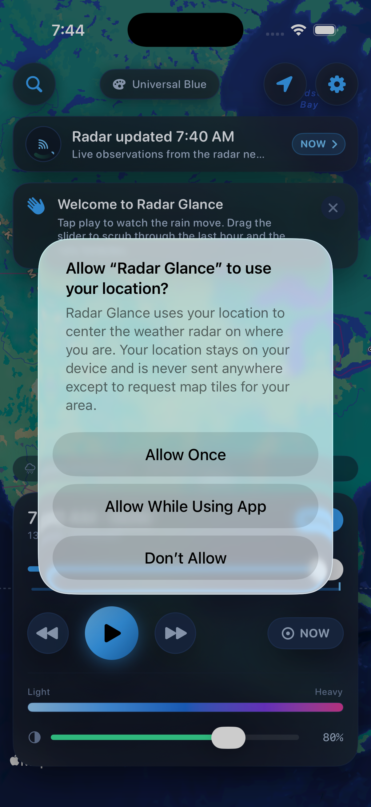
Optional location access centers the map where you are on launch. If location is off, the map defaults to the continental US and the search sheet lets you find any city, ZIP code, or landmark. The map remembers the last place you left it.

Graceful Offline State

When the network is unavailable, Radar Glance shows the last cached radar and a clear "Offline" indicator rather than a blank screen. A Retry button is a single tap away. Auto-refresh resumes when the app returns to the foreground.

Fully Offline. No Account. No Tracking.

App Interface

Radar Glance app screenshot showing animated radar map