Paid once · Private by default
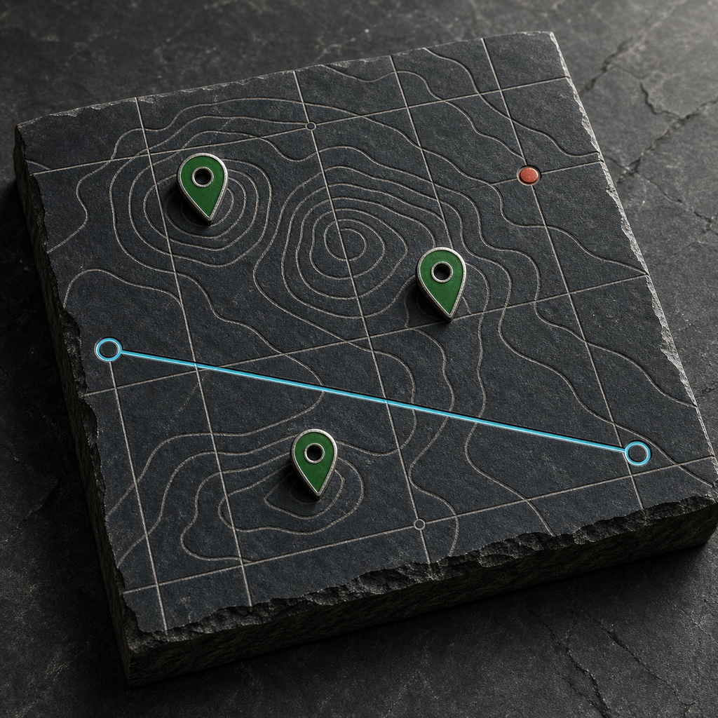
StoneDocket: Cemetery Map
Document cemetery plots, monuments, evidence, and change history where the work happens.
Built for the work
Small cemeteries need an offline field system that treats location as evidence with uncertainty, links plots to monuments and citations, and records condition change without claiming survey-grade accuracy.
- Offline section/row/plot map with sketch, import, snapping, and non-survey disclaimer.
- Location fixes with horizontal accuracy, source, timestamp, and uncertainty status.
- Monument face diagrams, inscriptions, photo details, material, and controlled condition marks.
- Citation and negative-observation records for uncertain or missing monuments.
- Visit comparison and maintenance-round planning.
- GeoJSON, CSV, PDF map/register, and portable survey package exports.
Local by design
Location and camera access are requested only during explicit field actions. The system photo picker does not grant broad library access, and the app does not publish memorial or location data.
No account, advertising, subscription, or developer analytics SDK is included.
Product boundary
StoneDocket creates field documentation and explicitly does not provide legal, cadastral, or survey-grade locations.