Purpose-Built
An offline LAS point-cloud viewer for scan headers, classification, return statistics, elevation profiles, measurements, annotations, and fast Metal-rendered field review.
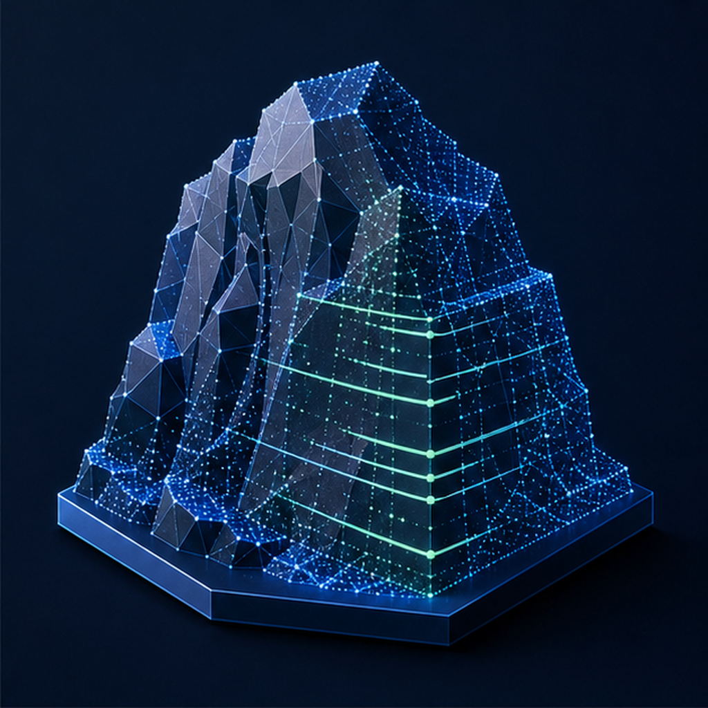
Point clouds, measured
An offline LAS point-cloud viewer for scan headers, classification, return statistics, elevation profiles, measurements, annotations, and fast Metal-rendered field review.
No account, subscription, ads, tracking, third-party analytics, or developer-operated backend. Core features work offline, and your work stays on device unless you deliberately share or export it.
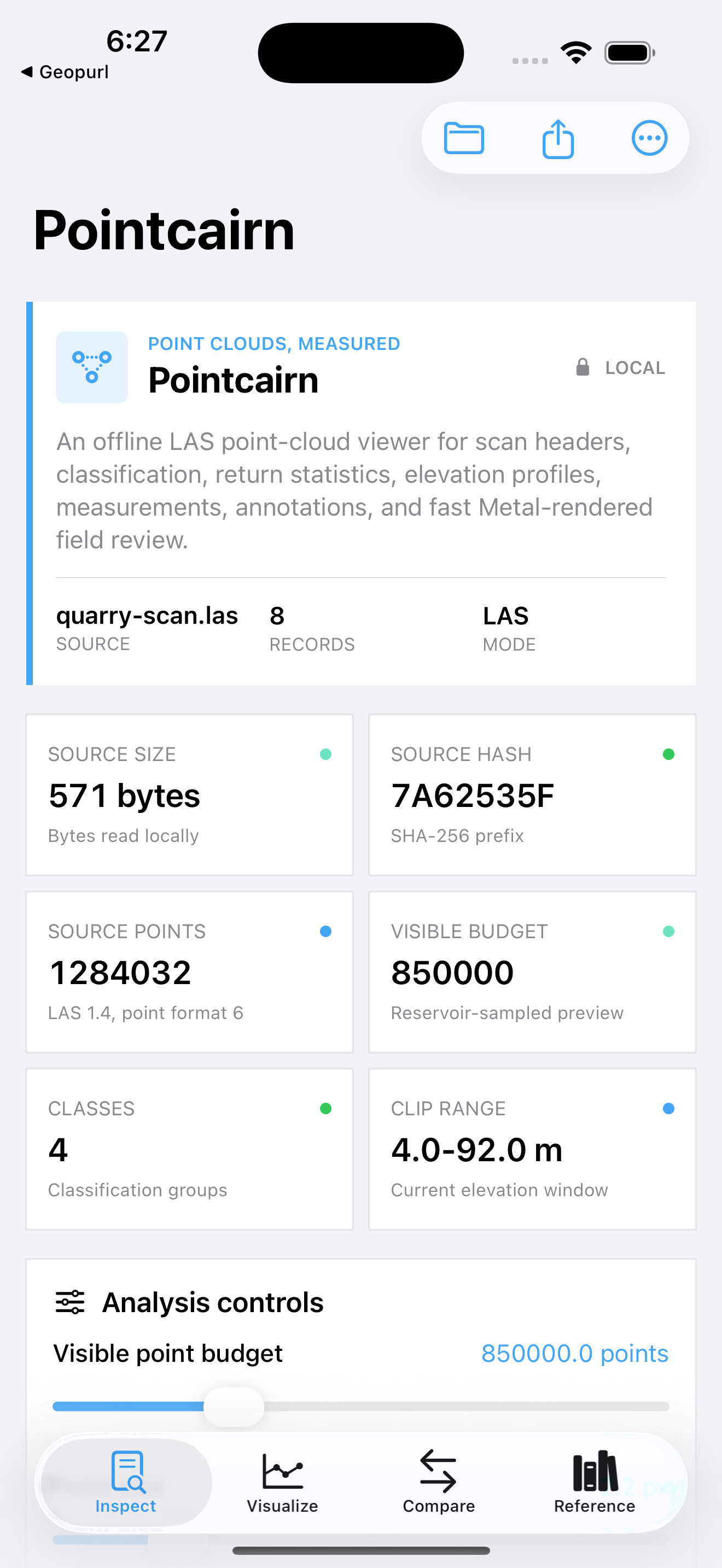
Review and visualization aid, not certified survey or engineering software. Validate measurements and control against the original point cloud and project system.