Datumark app icon
One-time iPhone and iPad app

Datumark: Survey Camera

Survey camera & GNSS mapper

Purpose-Built

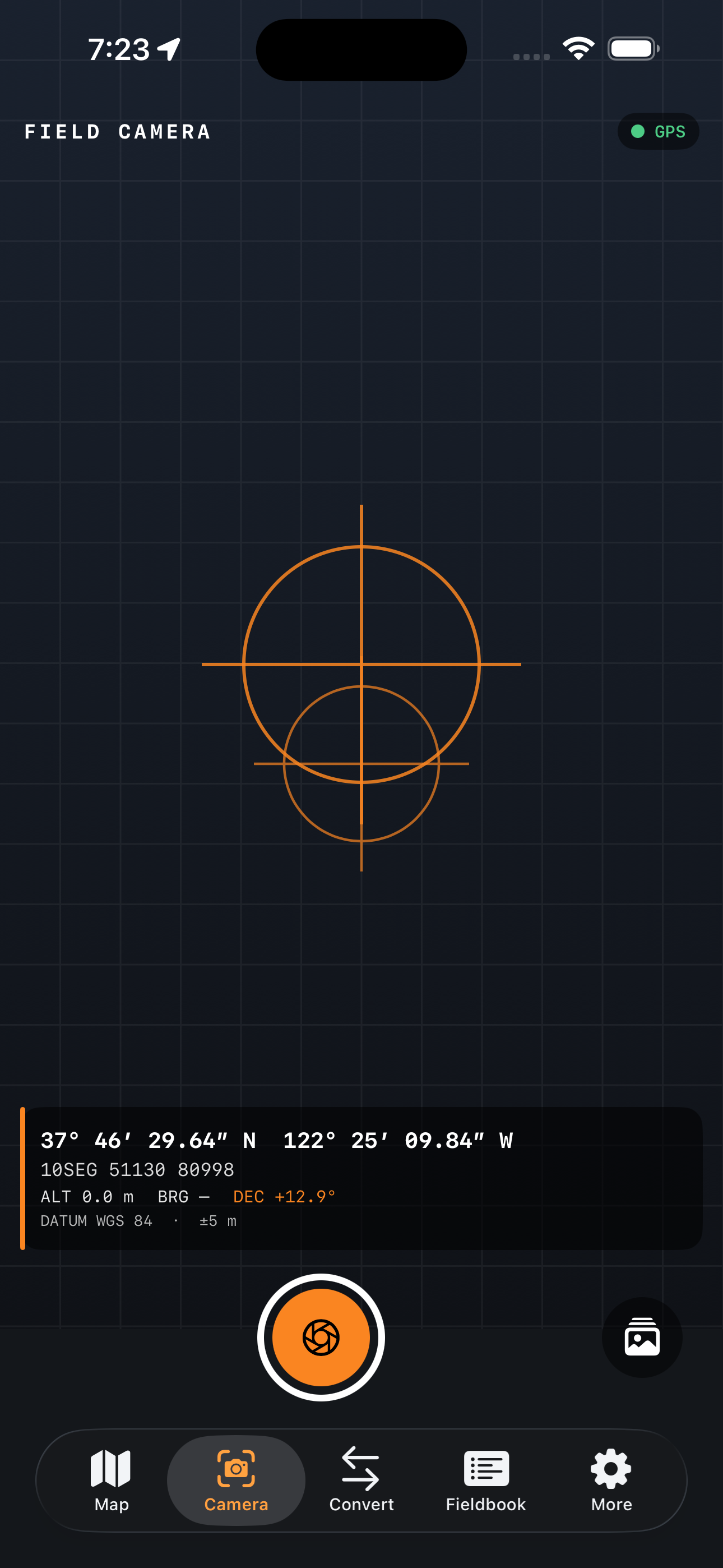
Datumark turns your iPhone into a precise field-survey instrument. Capture coordinate-stamped photos, measure distances and areas on site, convert between coordinate systems, and export clean data files — entirely on device. No account. No cloud. No tracking. Your position data never leaves your phone.
Core Tools

  • Survey camera & GNSS mapper
  • Private on-device workflow
  • No account or subscription

Private by Design

No account, ads, tracking, third-party analytics, or developer-operated backend. Your work stays on your device unless you deliberately share or export it.

Datumark app interface

Use It Responsibly

GNSS accuracy depends on the device and environment. Verify coordinates with appropriate survey equipment when precision or safety matters.